Corgnolaz, from the Vieu car park

Edited by:
Massimo Martini
Updated at: 15/08/2026
Access
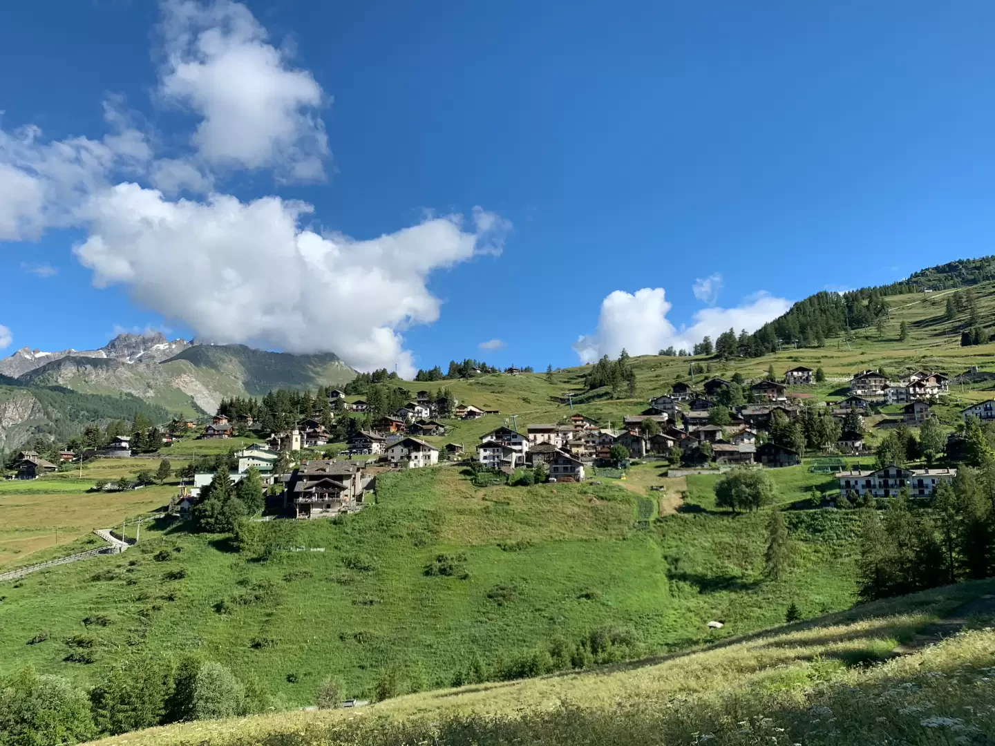
Leave the [A5] motorway junction at Châtillon, turn left and continue for about 300 metres until you reach a roundabout: take the third exit and continue straight on along Via E. Chanoux. Drive through the historic centre of Châtillon for about 600m, then turn slightly right onto Via Menabreaz and follow it for 450m until you reach the distinctive roundabout featuring the “Matterhorn” in the centre. Take the second exit and join the towards Valtournenche, following it for about 7.6 km until you reach Antey-Saint-André, where you turn right onto the towards La Magdeleine. Follow the regional road for about 7.8 km until you reach the main village of Brengon. Pass the parish church and, after a few hundred metres, park your car in the covered car park 🅿️ in the hamlet of Vieu. If the car park is full, you can continue along the small local road, which has pay-and-display parking spaces at the side a little further on (€6 per day from 8.00 to 17.30 – cash or EasyPark).
0h25' - 17.1km
How to get there with Google Maps
How to get there with Apple Maps
These directions are based on a first-hand check carried out when the route was mapped; therefore, the information should be verified before setting off on the hike. We recommend using a GPS navigator or a map app on your smartphone to obtain up-to-date and detailed directions.
Introduction
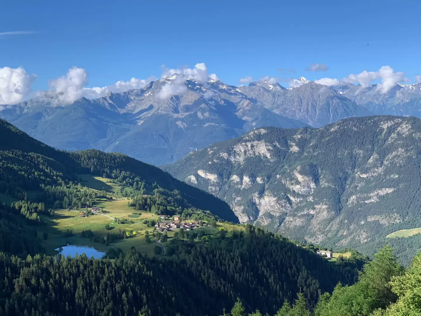
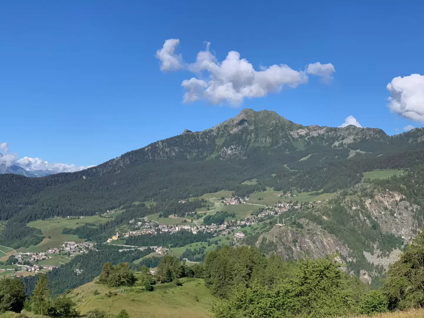
Chamois holds several records. It is one of the highest municipalities in Italy and is the only one that can be reached only by cable car or on foot. Below, we describe the easiest walking route, which starts from the village of Vieu in the municipality of La Magdeleine and leads, without any particular difficulties, to this picturesque alpine hamlet. The walk follows a section of the Gran Balconata del Cervino, a route of over 50 kilometres that crosses the glacially formed ‘balconies’ of the Valtournenche. The route is certainly less demanding and, in just over an hour’s walk, takes you to Chamois, offering interesting panoramic views of the peaks that frame the valley. Along the way, there are educational panels for children on the topic of energy. The simplicity of the route means it is fairly well-frequented.
Description
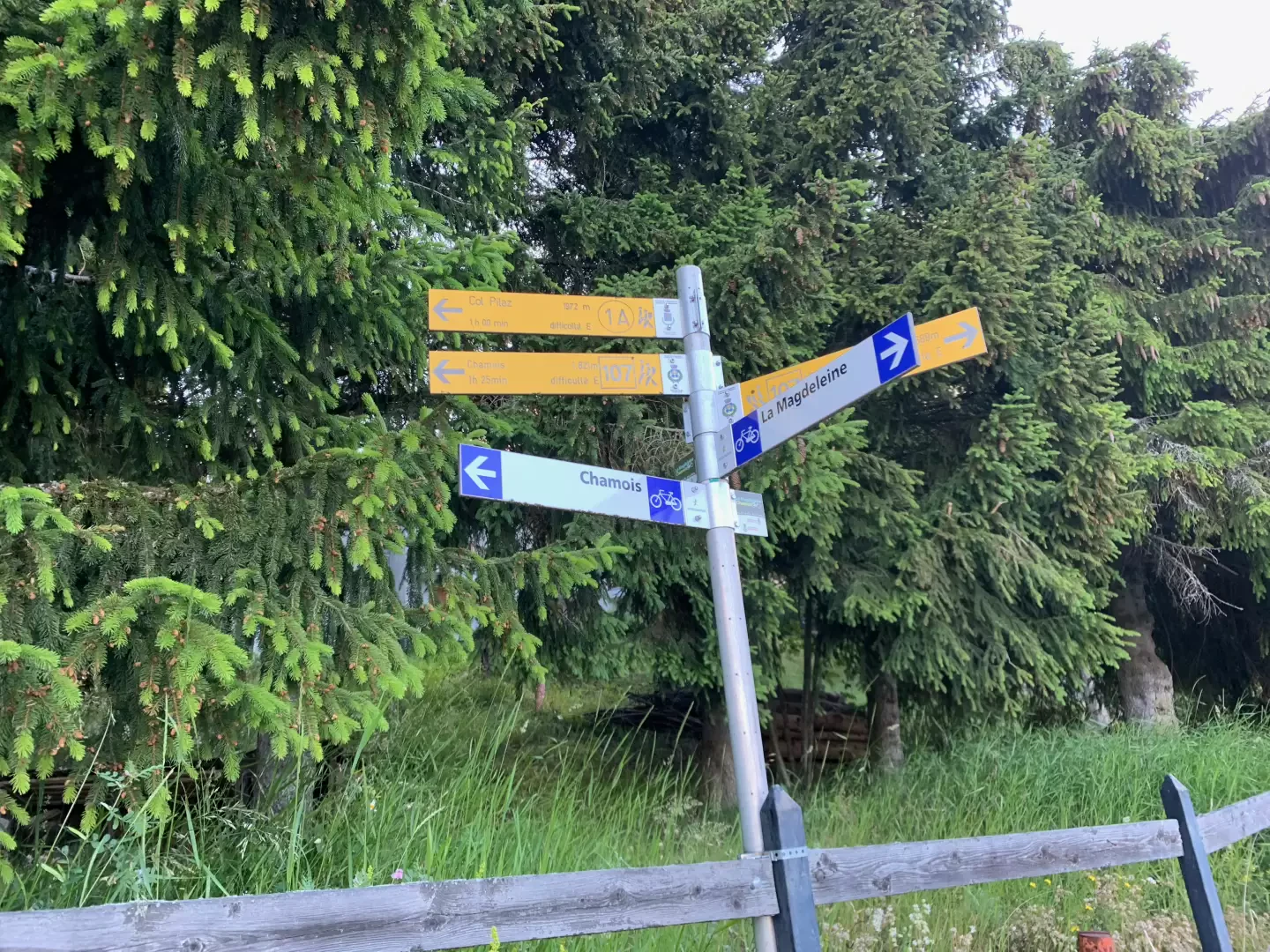
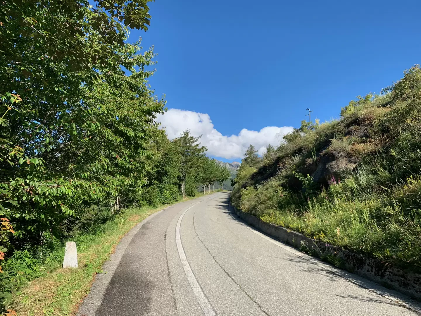
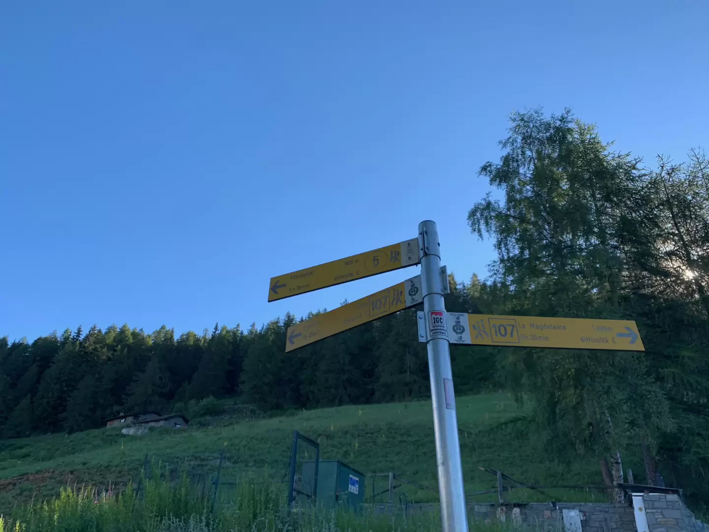
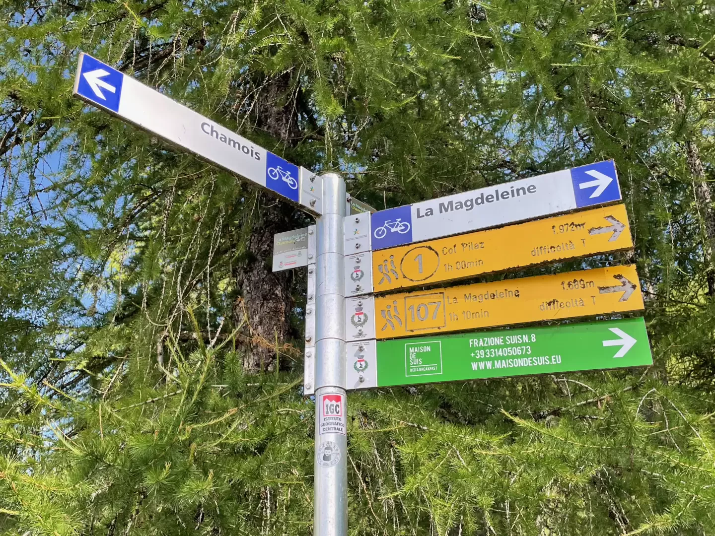
0h00' Walk briefly up the small road from the car park until you reach the junction with the local road, where there is a signpost indicating the direction for Chamois (trail marker 107km). Continue along the tarmac road for about 150 metres until you reach the start of the footpath (1A). Ignore the path and continue along the road for one kilometre, following the Cote de Veuillen with interesting panoramic views of the Becca d’Aver and Punta Tsan.
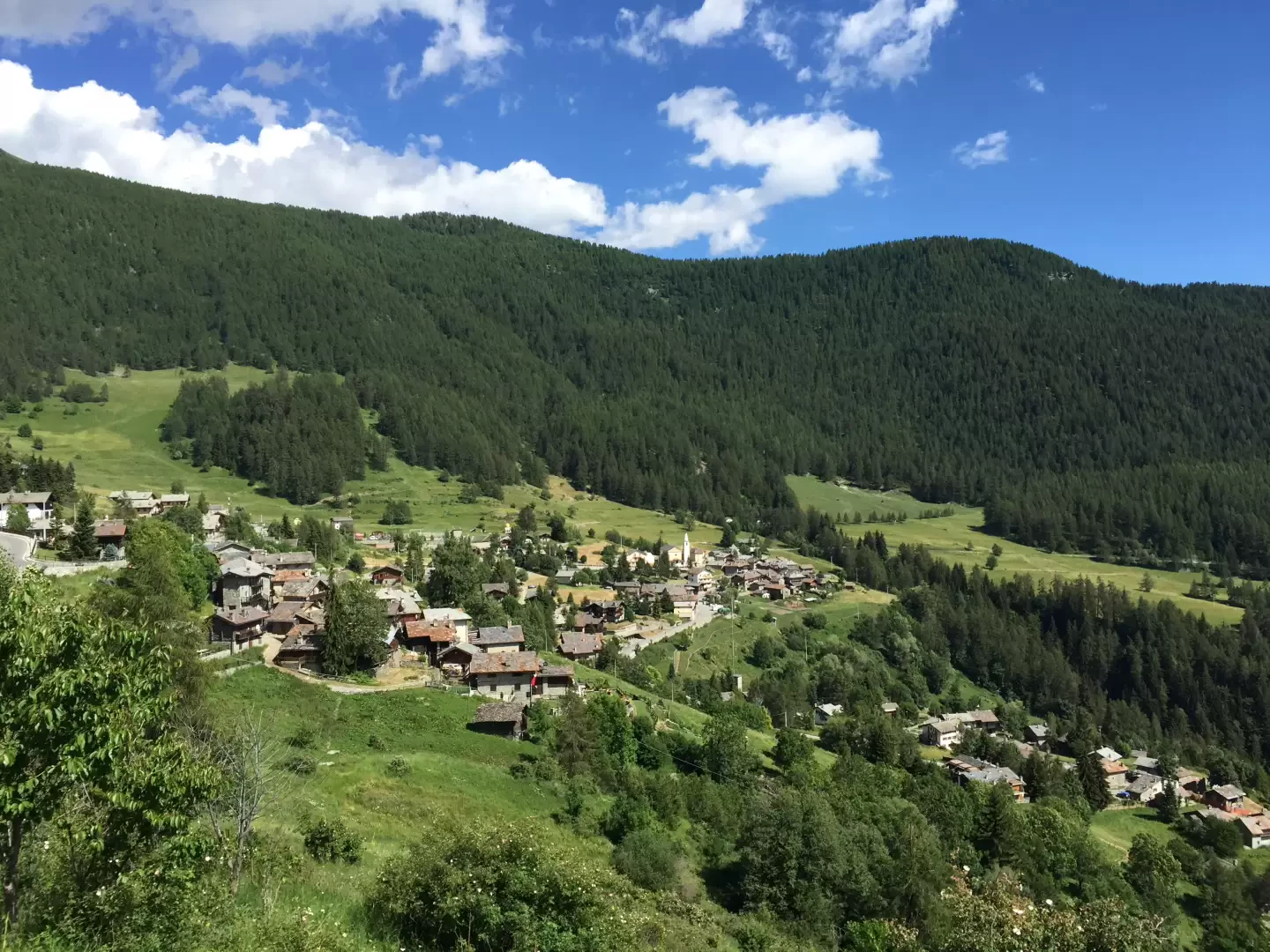
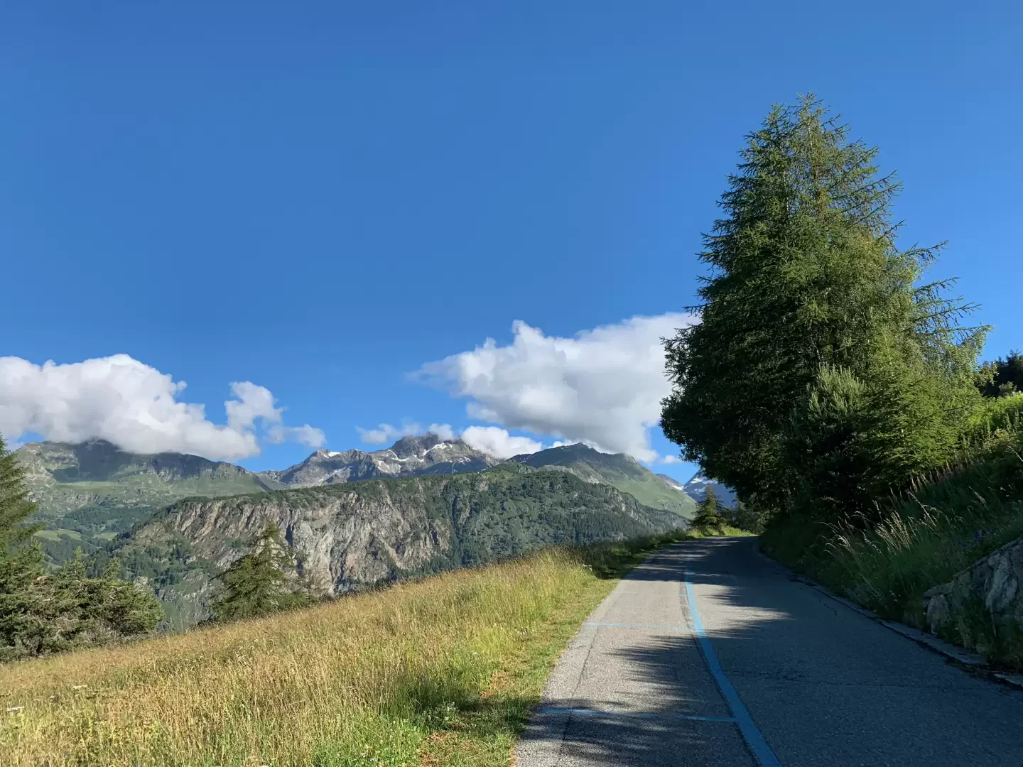
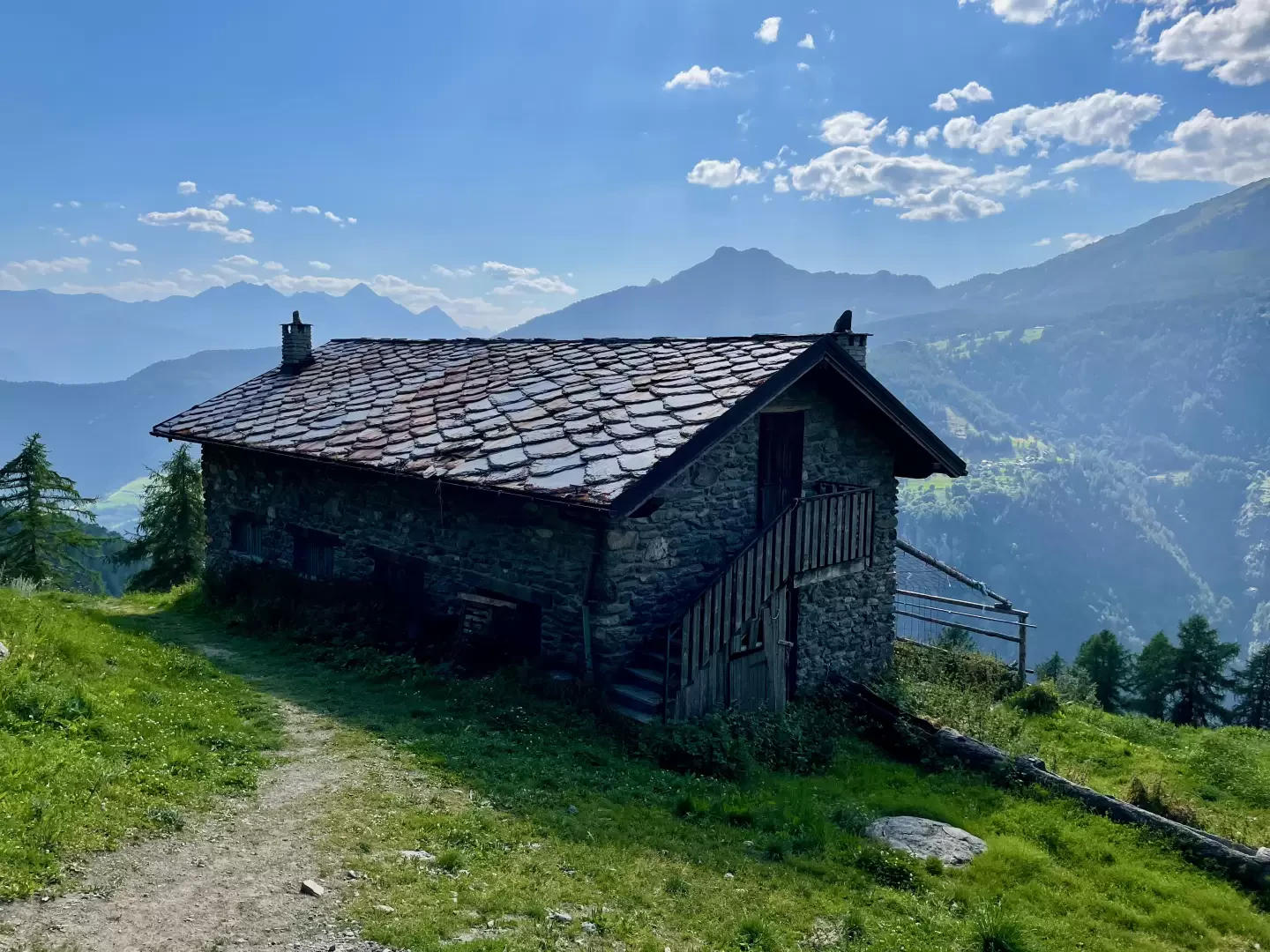
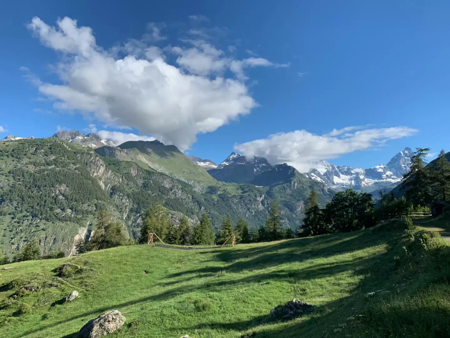
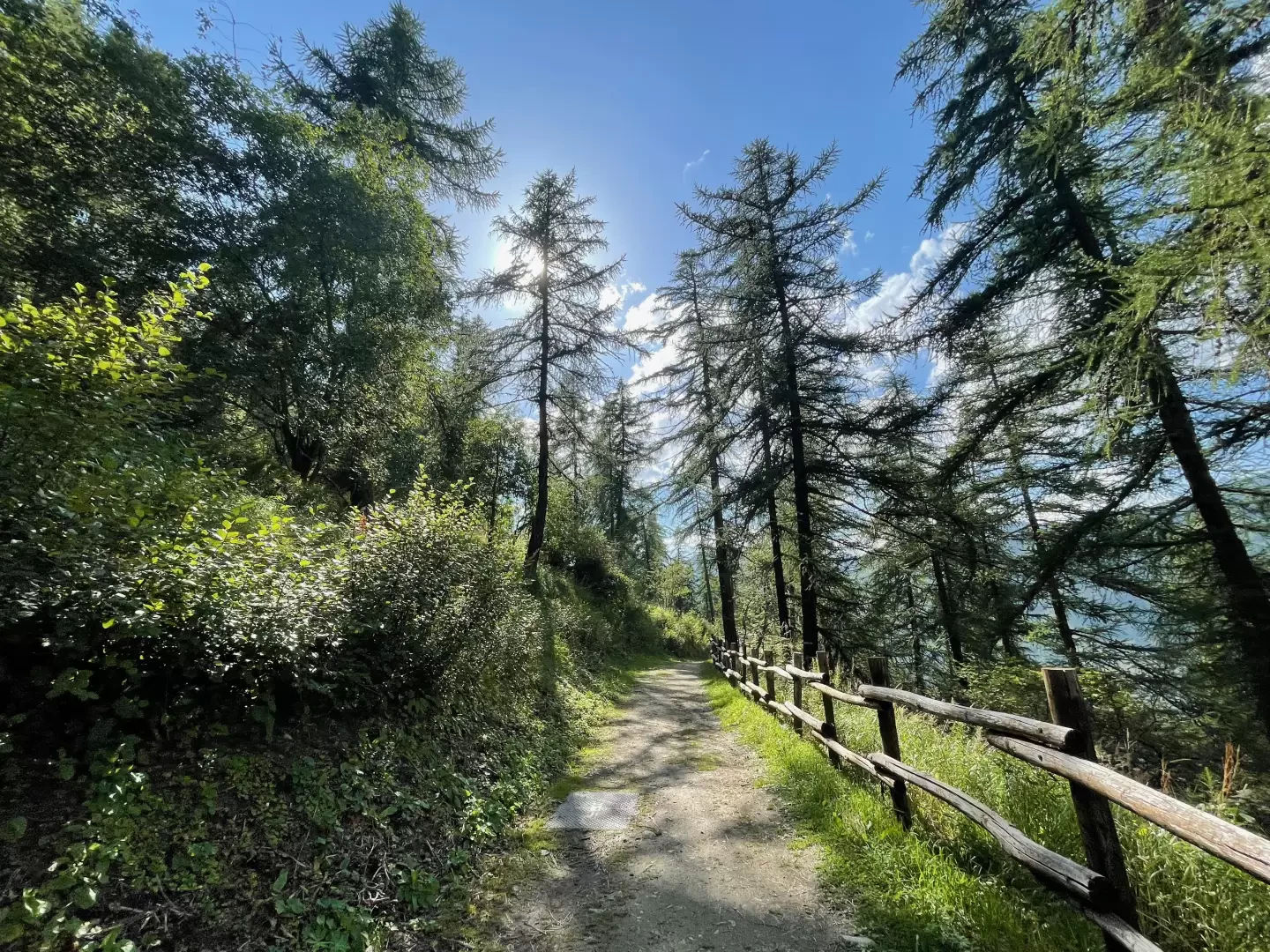
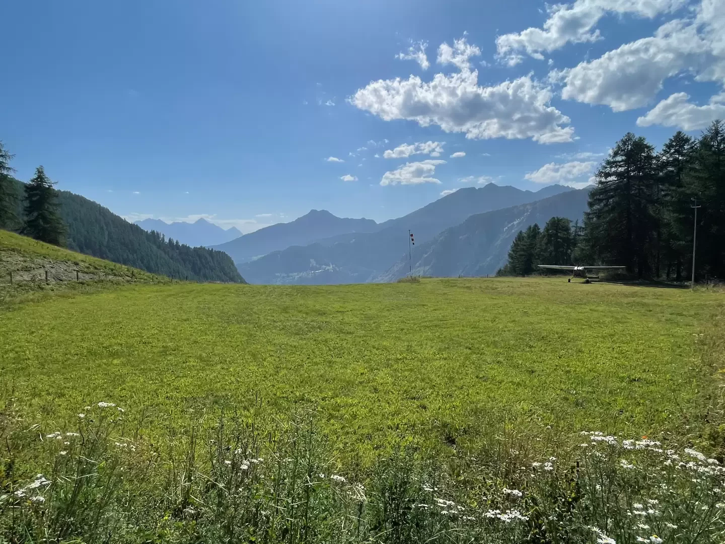
0h25' At a hairpin bend, take a short path that runs alongside the houses of Fenetre Blanches and climb a short slope until you reach the hamlet of Verney. Join the farm track and, after passing the honey hut and a wooden drinking trough 💧, continue on level ground, following the winding course of the wooded slope, which occasionally offers interesting views of the Valtournenche valley and its peaks. The first section of the route is flat and dotted with information boards on the theme of energy. After about one kilometre, you reach the Copitou clearing where, amongst the larch trees, the Matterhorn peeks out.
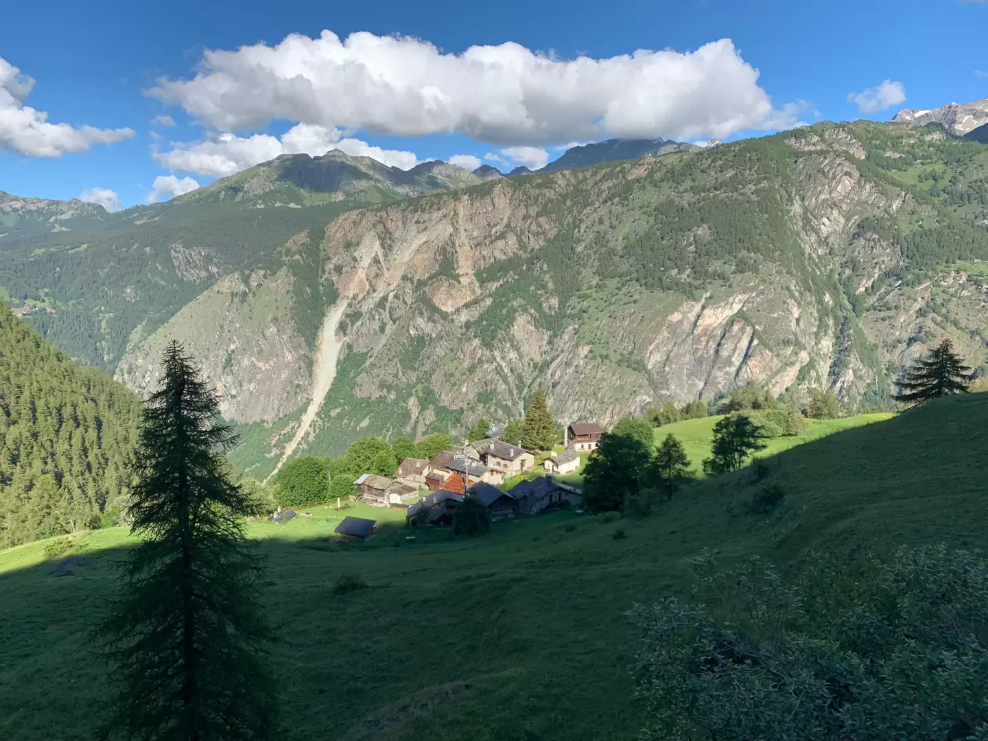
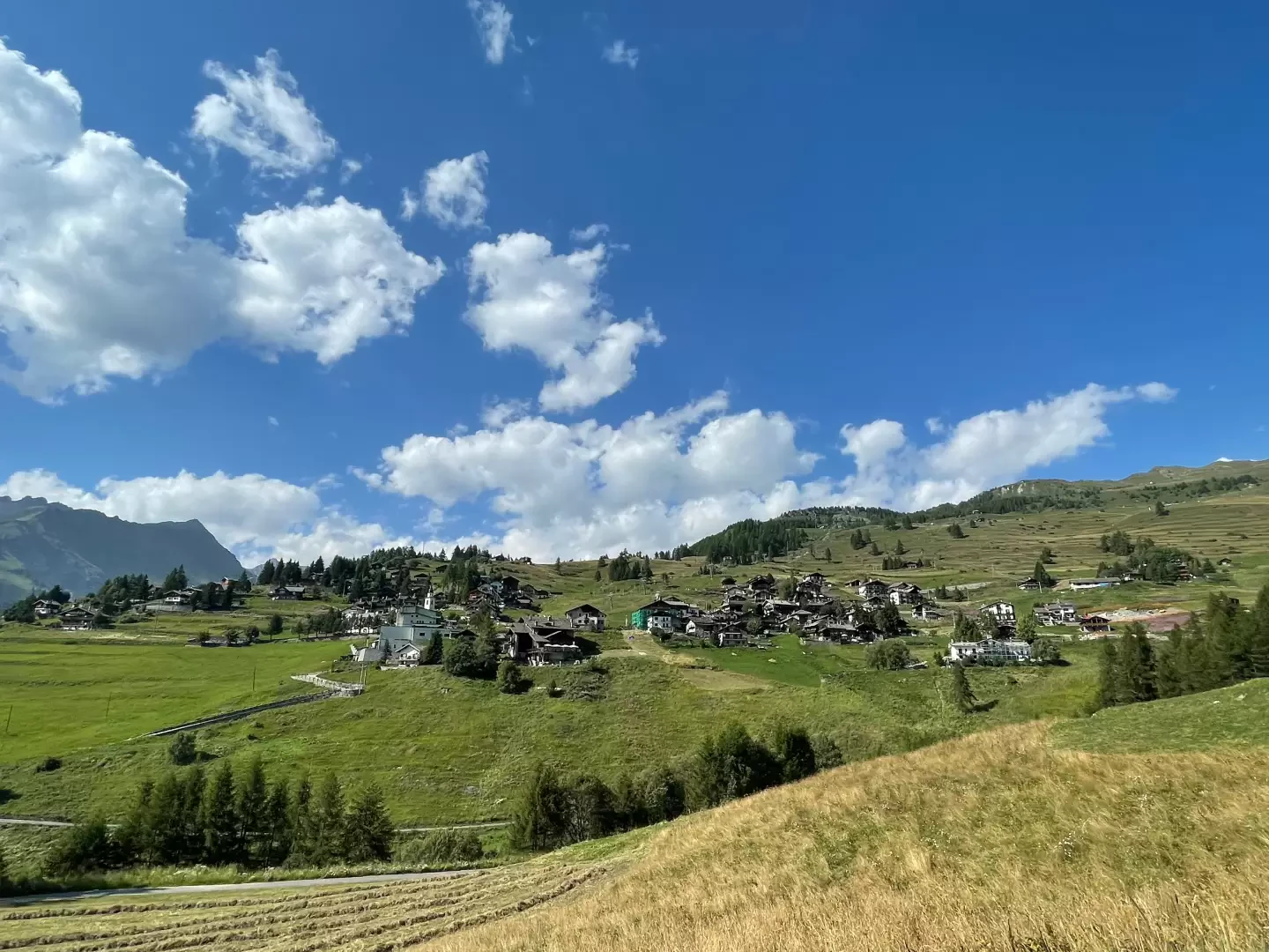
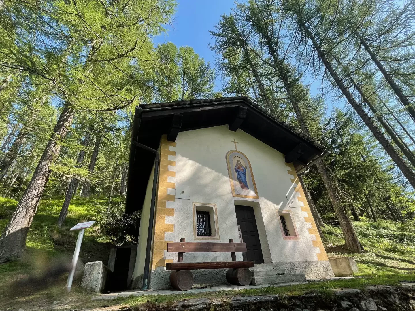
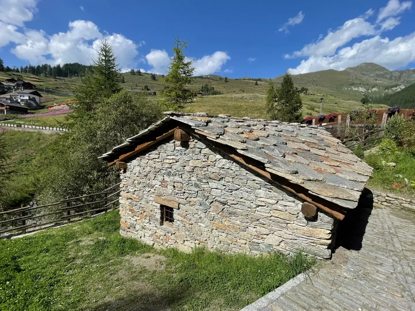
0h40' The narrow track forks; keep to the right and, on a gentle climb, head back into the larch forest before descending once more until you cross the watershed of the Torrent Saverou. The track now levels out again and leads above the picturesque village of Suisse. You emerge from the woods and cross the pastures, skirting the high-altitude pastureland. Your destination is now close by and visible; you re-enter the woods briefly and come to the small chapel dedicated to the Holy Trinity before turning left near the old mill with its historic oil press.
1h20' Cross the Torrent de Chamois via a small wooden bridge and continue straight on, first towards the first houses of the village of Corgnolaz, then into the village itself until you reach the small central square in front of the cable car station and the parish church dedicated to Saint-Pantaleon 1h30' .
The return journey follows the same route as the outward journey 1h30' .
Photo gallery
Comments (0)
Sign in to leave a comment